Reasons to Hike in the Tatra Mountains
✓ Hiking in breathtaking views!
✓Accommodation in mountain huts includes bedding so you don’t have to carry a liner or sleeping bag!
✓ Food is available in all huts, including breakfast, dinner and snacks so you don’t have to carry food for a few days.
✓ A relatively short travel from an international airport.
Itinerary of hut to hut hiking in the Tatra Mountains

41
KM
2
Nights
3
Days
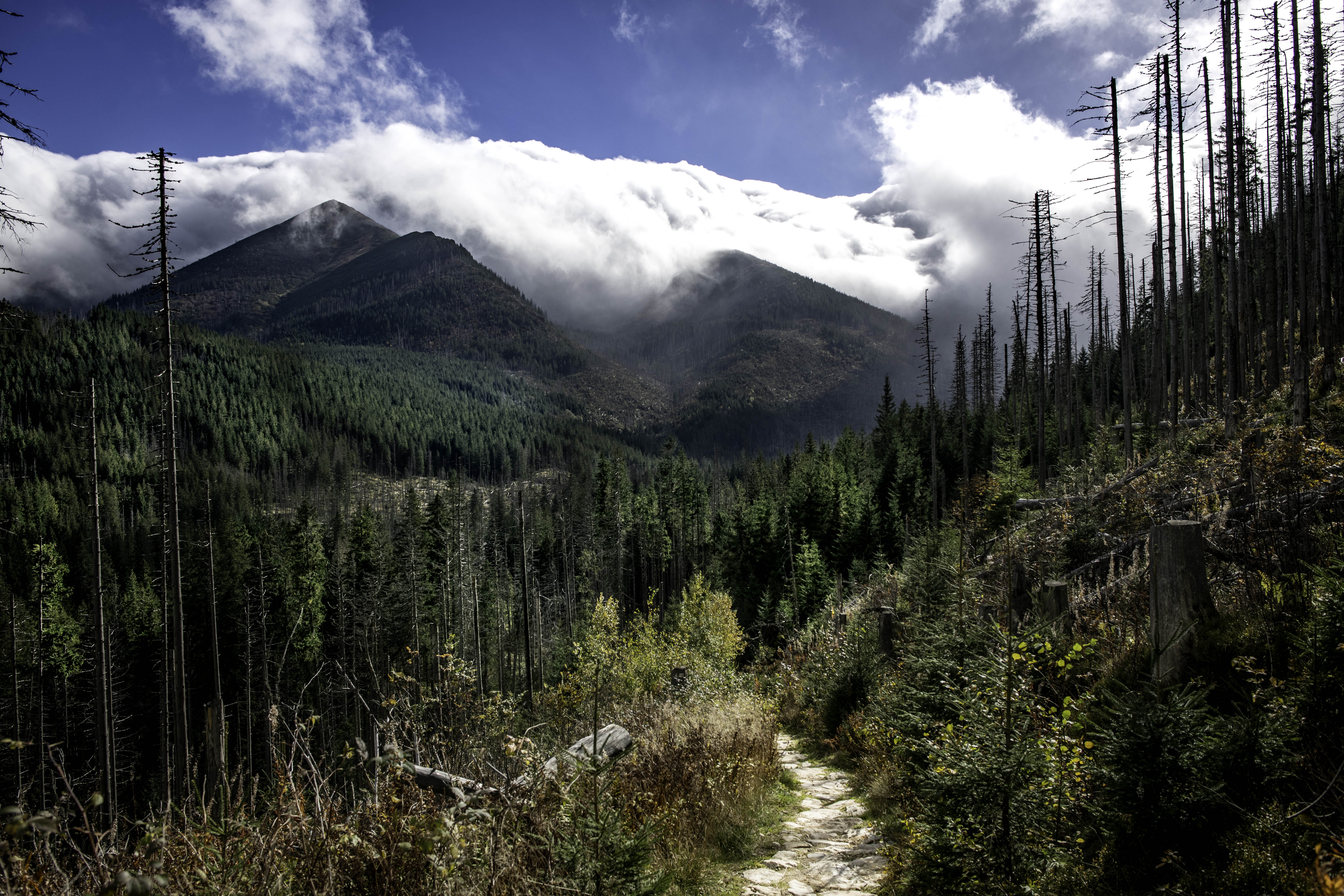
Day 1: Zakopane – Chocholowska Valley – Koscieliska Valley
You will start your day in the heart of Zakopane, where our driver will pick you up and take you straight to the trailhead. From there, your journey into the stunning Tatra National Park begins.
You’ll walk through Chochołowska Valley, surrounded by forests and mountain views. The trail then climbs steadily toward the scenic Iwanicka Pass (Iwanicka Przełęcz). After reaching the top, you’ll descend into the beautiful Kościeliska Valley.
Your first night will be spent in a cozy mountain hut nestled in this picturesque valley—perfect for resting after a full day on the trail.
—
Approximate walking profile:
Difficulty level: Easy – Medium
Distance: 11-16 km
Highest point: 1461 m²
Lowest point: 907 m²
Elevation Gain: 554 m
Elevation Loss: 358 m
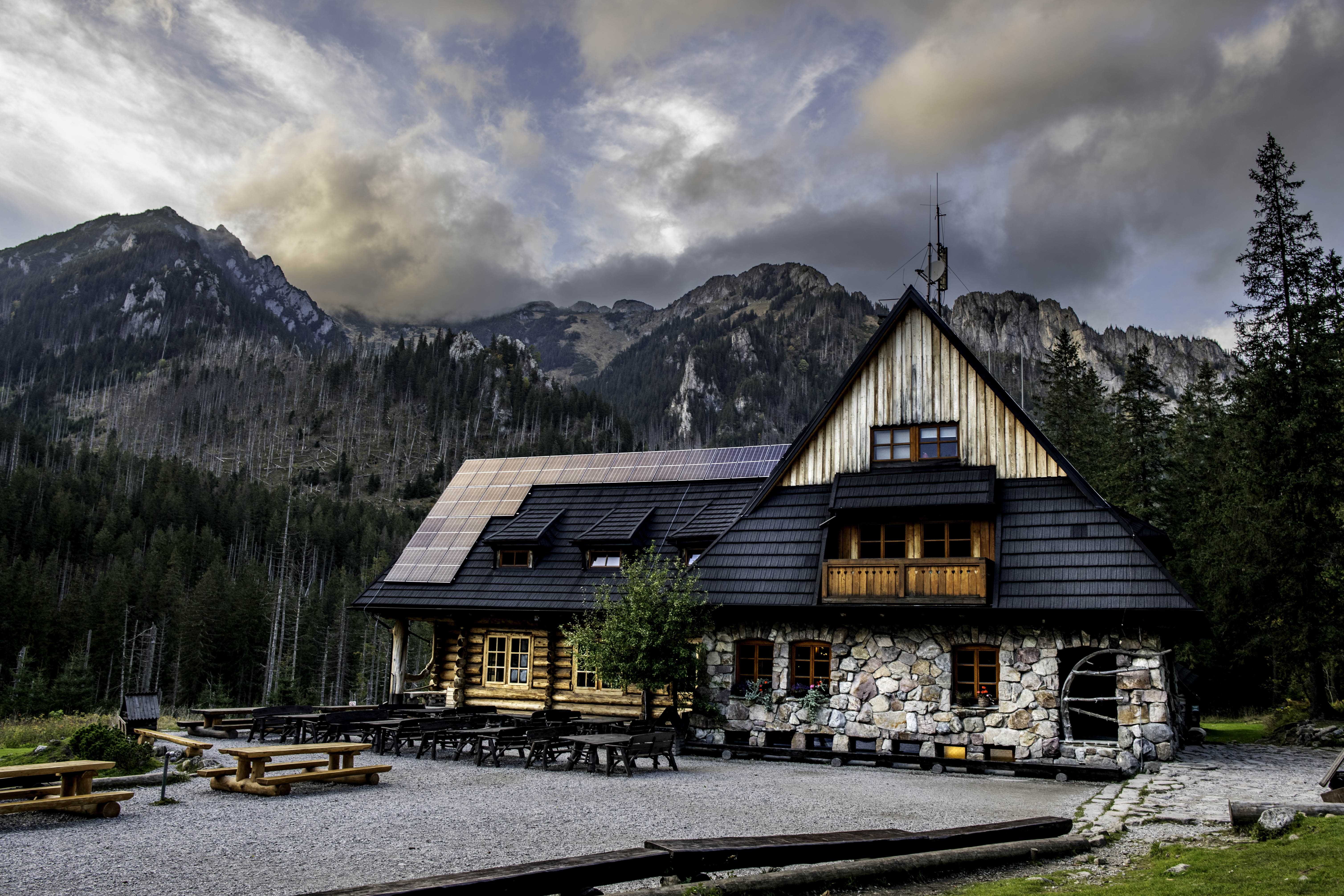
Accommodation: Mountain hut in the Kościeliska Valley
Day 2: Koscieliska Valley – Bystrej Valley
On this day, you will set off down the Kościeliska Valley, from where you will turn onto the trail that climbs to the mountain pass (1311 m) at the foot of Grzybowec (1417 m). From Grzybowiec, you will descend into Grzybowiecka Valley. There is a hut with a tea house, and near it a trail leads to the Siklawica Falls, which are a few hundred meters from the route. From the teahouse, the trail climbs to Czerwona Przełęcz (1301 m), from where you will continue on the winding path towards Bystra Valley.
—
Approximate walking profile:
Difficulty level: Medium
Distance: 14 km
Highest point: 1331 m
Lowest point: 949 m
Elevation Gain: 852 m
Elevation Loss: 768 m
Accommodation: Mountain hut in the Bystrea Valley in the Western Tatras (shared dormitory rooms)
Day 3: Bystra Valley – Diabelek – Black Lake – Zakopane
On this day, you will leave the pastures of the Bystrej Valley area by walking down the valley, from where you will begin the climb towards Diabelek (1470m above sea level). After you reach the pastures of Gasiennicowa, you can continue to the Black Lake, from where you will return to the pastures of Gasienniecowa. On your way outside the national park, walking through the wild landscapes at the foot of the Tatra.
When arriving to the road you will be picked up by a driver who will take you back to Zakopane where you can enjoy the centre and the open restaurants and bars in the town.
—
Approximate walking profile:
Difficulty level: Medium +
Distance: 16 km
Highest point: 1631 m
Lowest point: 1010 m
Elevation Gain: 645 m
Elevation Loss: 830 m
Accommodation is not included