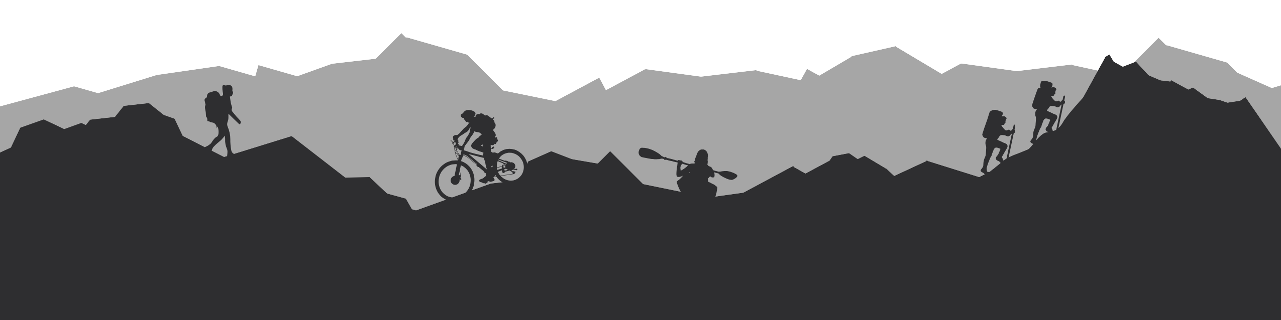

Why to winter hut to hut hike in Poland's Carpathian Mountains
✓ Winter hiking in a breathtaking landscapes, mountains, streams, and valleys in the Beskids, part of the mighty Carpathian Mountains!
✓ Walking with snowshoes and crossing trails that would otherwise be more difficult to walk on.
✓ A cross-border experience in Slovakia and Poland.
✓ Winter hut to hut in Poland’s second highest mountain range.
✓ Accommodation in mountain huts, including bedding, so you don’t need to carry a sleeping bag liner!
✓ Easy access to and from the start of the trail.
✓ Food is available in all huts, including breakfast, dinner, and snacks for the road, so you don’t need to carry food for several days.
Itinerary of winter hut to hut hike in Poland's Carpathian Mountains

43
KM
2
Nights
3
Days
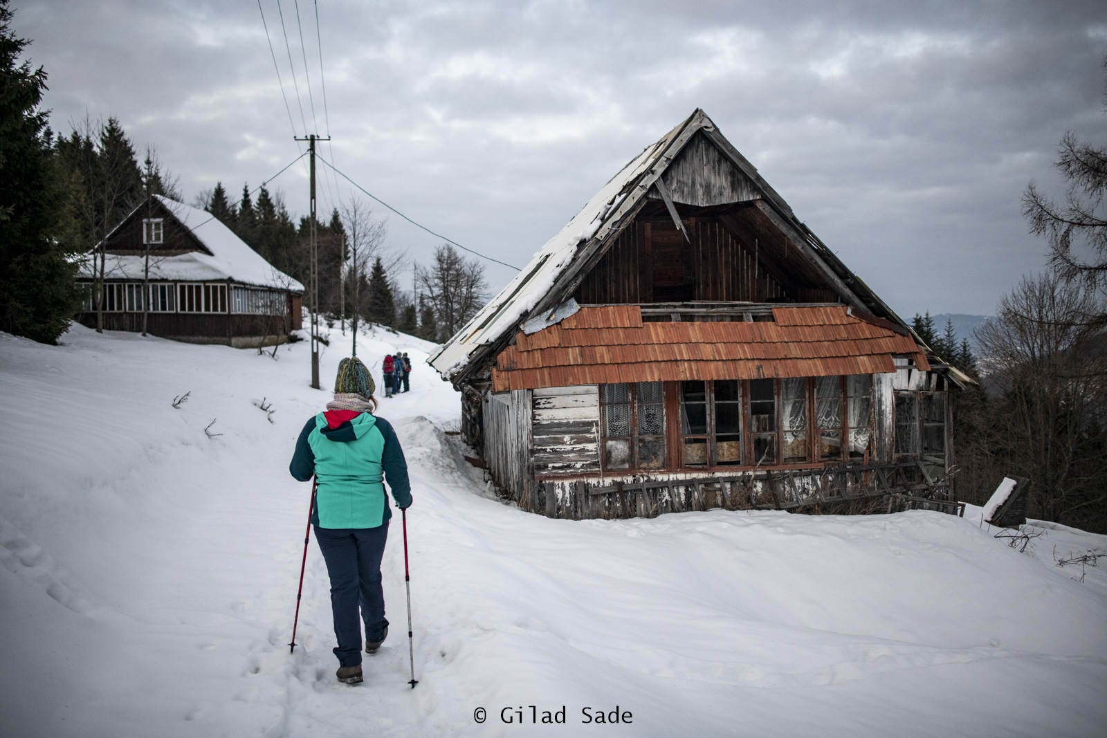
Day 1: Walking from Zwardoń to Wielka Racza
In the morning, a driver will pick you up and take you from Żywiec to the start of the route in the border town of Zwardoń. From Zwardoń, you will begin your hike in the Żywiec Beskids Mountains. As you climb the mountain, you will be introduced to the wooded landscapes of the ridge stretching between Slovakia and Poland. Towards the end of the day, you will reach the Wielka Racza viewpoint, from where you will continue on a short walk to the hut where you will spend your first night.
—
Estimated hiking profile
Difficulty: Moderate
Distance: 15 km
Highest point: 1,227 m.a.s.l.
Lowest point: 681 m.a.s.l.
Elevation Gain: 847 m
Elevation Loss: 301 m
Transportation: Transfer from the town of Żywiec to the start of the trail in Zwardoń
Accommodation: Mountain hut in the Żywiec Beskids
Day 2: Walking from Wielka Racza to Rycerzowa
On the second day of hiking, you will mainly walk along the ridge’s watershed. Throughout the day, you will pass between different peaks until you reach the summit of Rycerzowa, from where you will continue to the second hut where you will spend the night.
—
Estimated hiking profile
Difficulty level: Moderate
Distance: 16 km
Highest point: 1,227 m.a.s.l.
Lowest point: 659 m.a.s.l.
Elevation Gain: 552 m
Elevation Loss: 659 m
Accommodation: Mountain hut in the Skid Žiževský ridge
Day 3: Walking from Rycerzowa to Ujsola River
On this day, you will descend the mountain toward Ujsola River. The trail today lead you into small villages and nice forest trail. Along the way you will pass the small village Mlada Hora, Kaplica św. Piotra, Hutyrów and more.
You will finish the hike at the bank of Ujsola River from where the driver will pick you up and take you back to Żywiec.
—
Estimated walking profile:
Difficulty: Moderate
Distance: 12 km
Highest point: 1,192 m.a.s.l.
Lowest point: 506 m.a.s.l.
Elevation Gain: 139 m
Elevation Loss: 735 m